CASE STUDY
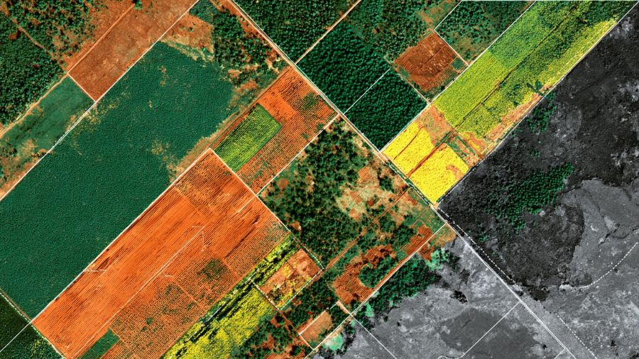
Agriculture: Optimizing Crop Yield Prediction with Satellite Data
Boosting crop yield predictions for 10,000+ smallholder farmers with 30,000+ annotated satellite & drone images, achieving 85% accuracy across East Africa.
Client Overview
An agri-tech startup focused on precision farming in East Africa aimed to build a predictive analytics platform for smallholder farmers. They required annotated geospatial data to train models on crop health and yield forecasting, but lacked access to region-specific datasets.
Project Scope
DataLens annotated 30,000+ satellite and drone images covering maize, cassava, and coffee crops across varying terrains. Tasks encompassed:
- •Bounding box labeling for pest infestations
- •Pixel-level segmentation for soil erosion
- •Temporal tracking for growth stages
Data was sourced ethically from public and client-provided imagery.
Challenges
- •Seasonal data gaps due to cloud cover in equatorial regions.
- •Linguistic barriers in labeling indigenous crop varieties.
- •Scalability for real-time farmer advisories.
DataLens Solution
Leveraging supervised annotation workflows, DataLens deployed field verifiers for ground-truth collection in Kenya and Tanzania. The platform's geospatial tools facilitated vector-based labeling, with iterative feedback loops refining models for climate-adaptive predictions.
Results
- •Delivered datasets with 97% inter-annotator agreement.
- •Boosted the client's yield prediction model accuracy to 85%, increasing farmer incomes by an estimated 15-20%.
- •6-week project timeline, enabling seasonal rollout to 10,000+ farmers.
More Case Studies
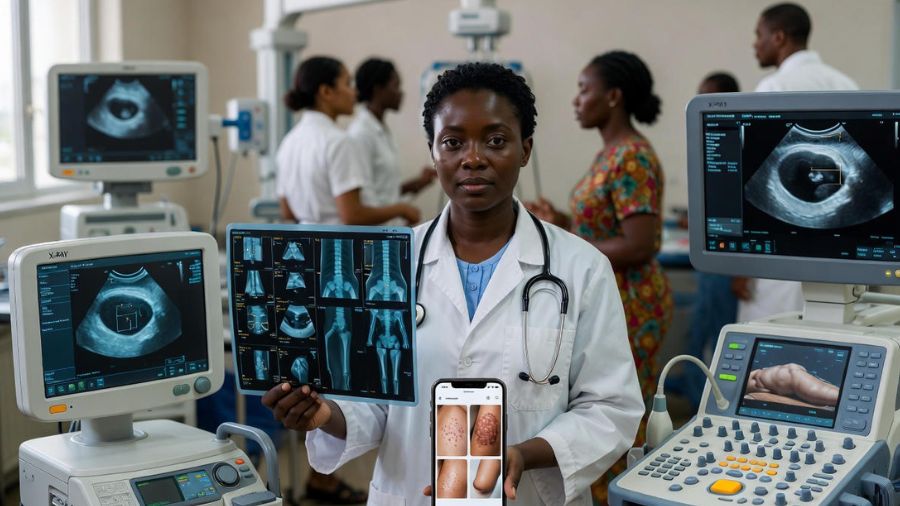
Healthcare
AI-Powered Tropical Disease Detection
50,000+ annotated medical images improved diagnostic precision by 28%.

FinTech
Fraud Detection in Mobile Banking
100,000+ annotated logs reduced fraud by 35% using multilingual LLM fine-tuning.

Automotive
Level 4 Autonomy in Asian Markets
200,000+ multi-sensor annotations improved mAP by 28 pp in dense traffic.
Ready to Transform Your AI Models?
Partner with DataLens Africa for high-quality, ethically sourced, and context-aware datasets.