Industry Insights
Training Data for Agritech AI in Africa: Satellite Imagery, Field Agents and Local Ground Truth
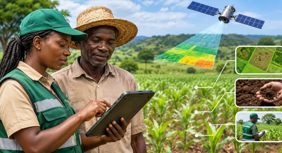
Satellite imagery of African farms is plentiful and often free. Reliable ground truth is not. Why smallholder plots, intercropping and rainy-season cloud cover defeat satellite-only models, how trained field agents collect the observations models learn from, and a checklist for building an agritech training dataset.